
ABOUT
What We Build
LeadNav builds navigation tools for people who work and play “Off the Grid”
Four things, and they are designed to work as one system:
LEADNAV GPS is the iOS app that runs in the vehicle. Offline maps, routes
built around audio waypoints that call your turns and hazards aloud, track
recording, markers, and live group tracking for your whole team.
LN COMMAND is the planning workspace that runs in any browser. Build routes,
edit GPX files, assemble Trip Packages, and ask Juliet, our AI assistant, to do
the work in plain English. Then run it in the field.
Hardware is built in house, one unit at a time. iPad and iPhone mobility
packages, rugged cases and cradles, GPS antennas, power and mounting, engineered
to survive what race vehicles and work trucks do to equipment.
Training and consulting for teams and organizations that need to operate at a
higher level, delivered on site by certified LeadNav instructors.
The thing none of our competitors do: turn-by-turn voice guidance where there
are no roads. Street navigation tells you when to turn. So do we, on terrain
that has no street names.
How it started
LeadNav began with a problem that had nothing to do with recreation.
Planning and executing movement through remote terrain, with no signal, no
street grid, and no margin for a wrong turn, is a discipline. It was built over
decades of military mission planning, and the tools that existed were either
built for streets or built for a screen you had to stare at instead of the
ground in front of you.
The answer was a navigation system you could hear. Routes that speak, so the
driver keeps their eyes where they belong.
That went public in 2014, and the proving ground was desert racing. There is no
harder test for navigation software than a race vehicle at speed across Baja:
heat, vibration, dust, no coverage, and a co-driver who cannot afford to look
down. What survived that is what ships today, and it is now trusted worldwide.
Who uses it
Desert racers and co-drivers running race files. Overlanders planning multi-day
routes with fuel and water figured out in advance. Hunters marking access and
property lines. Search and rescue teams dividing a grid. Ranchers, land
managers, utility and fire crews who need the same route in every truck.
You do not have to be a professional to use it. Professional grade means the
tool does not quit on you. It does not mean you need a badge to buy one. If you
have ever wanted to know what is coming before you get there, that is the whole
idea.
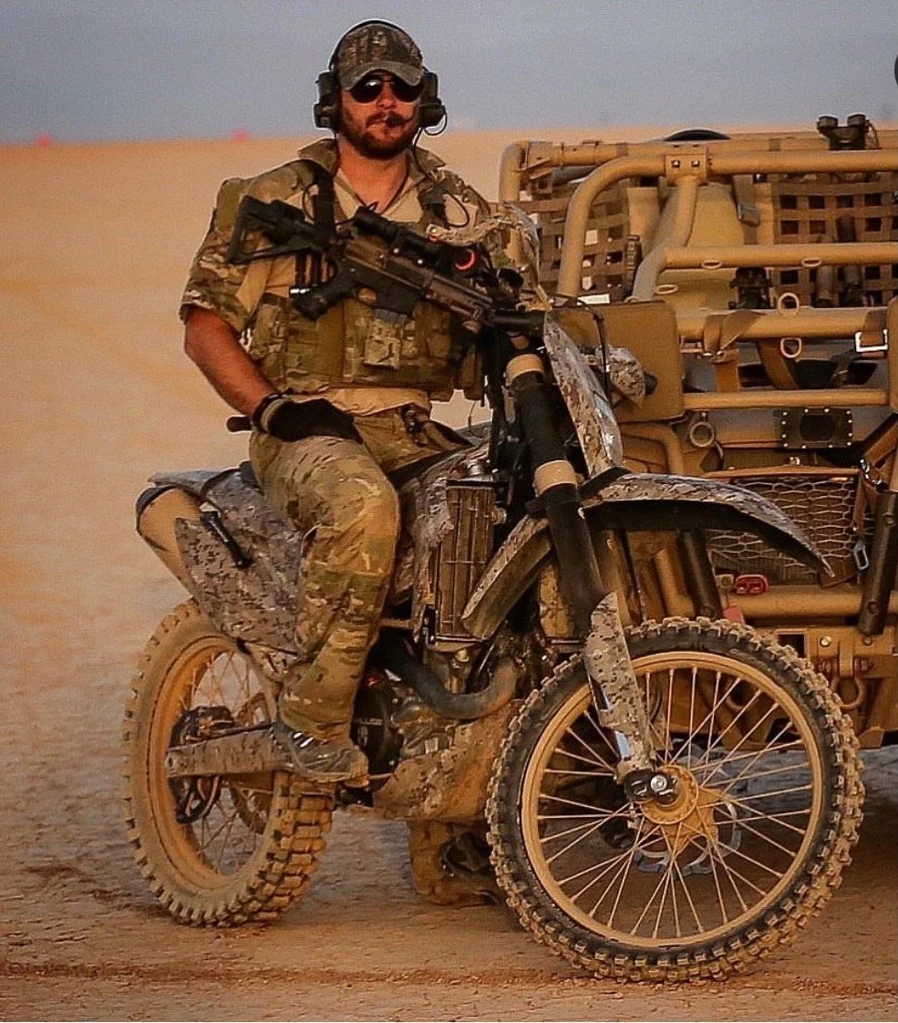
Damian
Founder & CEO
Retired Navy SEAL (21 years), Damian has spearheaded advanced technology for mission planning, coordination and navigation in Special Warfare Operations since 1996.
Spending the past 10 years (until retiring in 2016) at Naval Special Warfare Development Group as an Assaulter, Breacher, Pointman and Sniper Team Leader on countless real world combat operations spanning over 11 deployments. While there launching the first dirt bike and UTV strike operations utilizing cutting edge terrain and imagery analysis during very rapid planning phases.
Before that time Damian served as a Breacher/Explosives Instructor (4 years) after kicking off his career as a Recon Sniper and Combat Swimmer at SDVT-2 (2 deployments, 6 years).
Founding LEADNAV in 2014, his focus was and still is to bridge the gap between today’s ever growing technology and those who work and play "Off the Grid.”
2026 Updates and History
Where we are
LeadNav Systems LLC is a service-disabled veteran-owned business based in Currituck County, North Carolina, where the hardware is still assembled by hand. Software, hardware and support all come from the same shop. Training and consulting come to you, in the field, anywhere in the US or worldwide.
Questions about the app, LN COMMAND, hardware, training or enterprise
licensing?